- T:+91 40 42018152
- E:info@trigeo.net
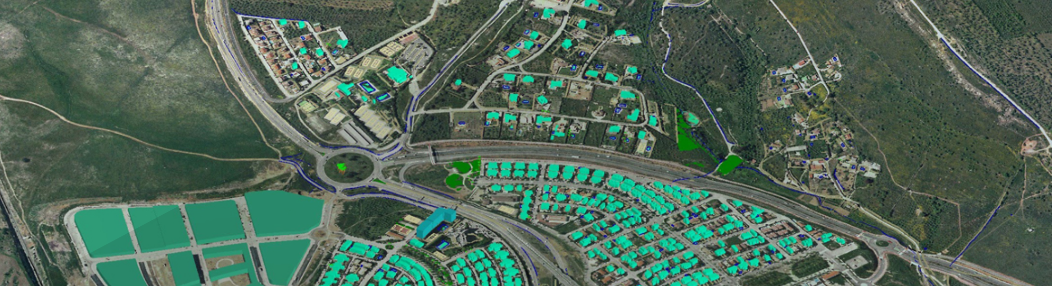
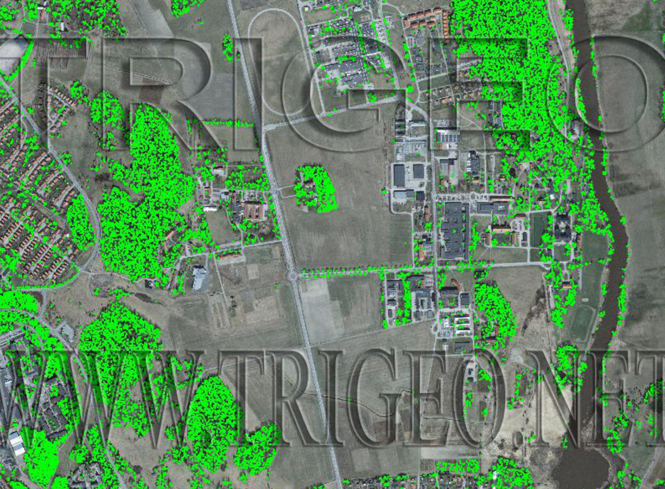
Light Detection & Ranging (LiDAR)
LiDAR is a mapping technique that helps to calculate precisely geospatial locations of terrestrial elements as well as man-made structures. TriGeo has a special team whose key strength is providing services using LIDAR applications (Light Detection And Ranging) to create accurate 3D terrains that are of immense value to forest management, land resource planning, electricity transmission grid works and the like. Powerful solutions have been given to a wide variety of business demands in this area.
Capabilities
Software Expertise Autodesk Revit, SOLIBRI Model checker , MagicCAd, ArchiCAD, AutoCAD, Microstation, CAD POINT
LiDAR Services offered in the following areasAgriculture and vegetation mapping,Cadastral Mapping,Engineering and Construction,Land Classification,Utilities Mapping, Electrical transmission line corridor mapping
2025 © TriGeo Technologies, All Rights Reserved.